Our mission is to build the largest digital atlas of the world's maps and images.
100,000+ maps and counting
The New Atlas
 Enter the Atlas
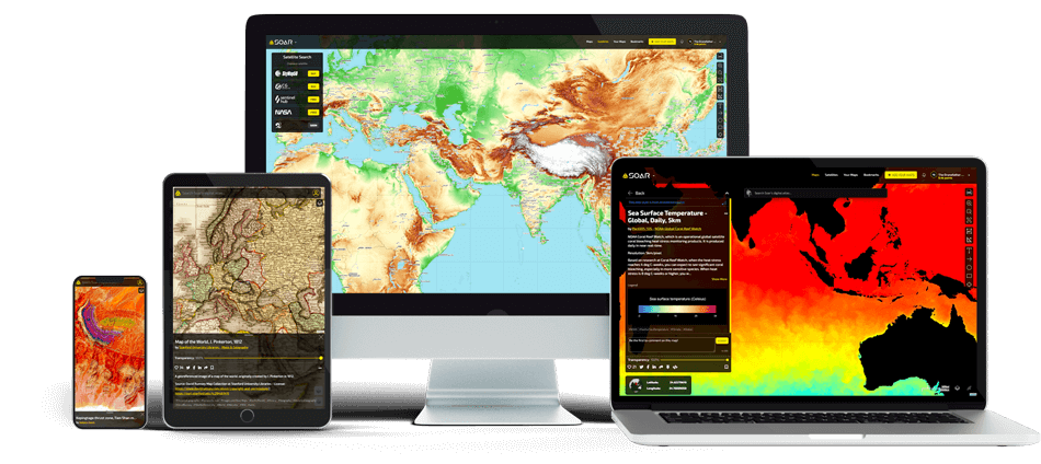
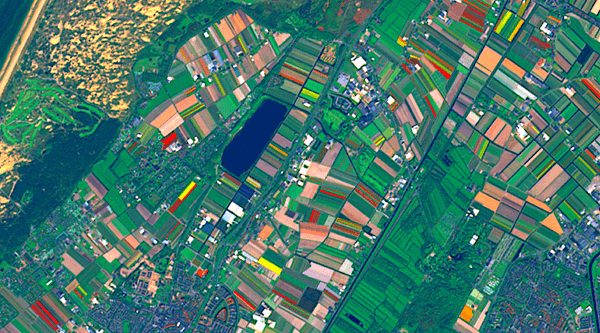
Agriculture
No other industry has impacted as much of the Earth’s surface as agriculture has. Study and analyze the thousands of satellite images and maps demonstrating crop yields, through to seasonal variability in farmland output.
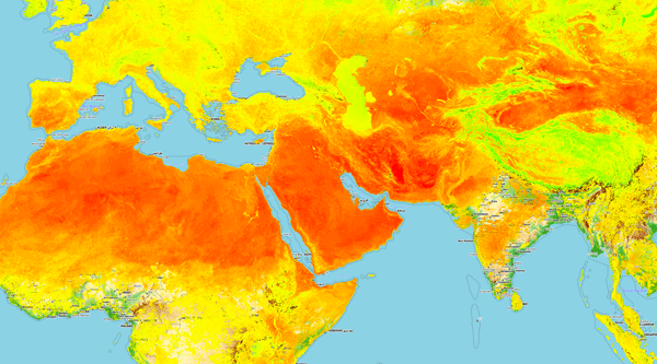
Climate
The Earth’s climate is at a constant state of change. Find the world's most comprehensive updated climate maps from the likes of NASA, the EU and NGOs.
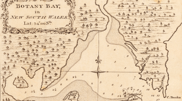
History
See how history is an ever continuing story with maps including ancient human migration categories, the distribution of native peoples through to archived aerial images.
Transport
The efficiency of the global economy is built on transport systems. Identify, visualise and study maps and satellite images showing the impact of the world's integrated transport system.